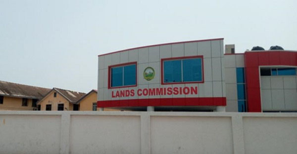
Lands Commission to use drones for survey, registration of lands
The Lands Commission is to switch to the use of a specialised drone technology for land surveying, registration and cadastral works, beginning March 2019.
Read Full Story
Advertise Here contact ads[@]ghheadlines.com


Facebook
Twitter
Pinterest
Instagram
Google+
YouTube
LinkedIn
RSS